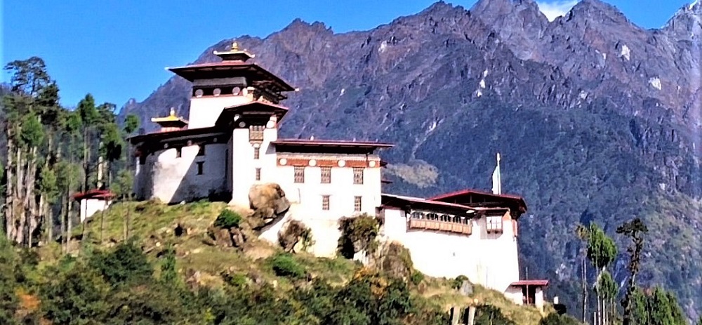
Gasa - Tourist Destination in Bhutan

Gasa, located in extreme north west of Bhutan, shares its borders with districts of Punakha, Thimphu, Wangduephodrang, and autonomous region of Tibet to the north. Elevations in Gasa district range between 1,500 and 4,500 meters above the sea level and consequently the region experiences extremely long and harsh winter while short but beautiful summer.
The natural splendour of Gasa is unparallel in the country. The district has some of the highest peaks in the Kingdom. Over a hundred glacial lakes that are at the foot of these greater Himalayan peaks feed some of the major river systems in the country, including the Pho Chhu and the Mo Chhu rivers which join further downstream to form the Sankosh, that eventually drains into the Bay of Bangal.
The district is administratively supported by four village blocks namely Goenkhatoe, Goenkhamae, Laya and Lunana which being the most remote amongst the four.
The entire Gasa district falls under Jigme Dorji Wangchuck National Park and is the habitat for different species of birds and animals like the Takin, Musk Deer, Blue Sheep, Snow Leopard, Red Panda, Raven, Wild Pheasants, Snow Pigeons, Red Billed Cough, Himalayan Black Bear, Tiger, etc. Various natural hot springs with significant medicinal properties are other important natural resources in this district.
HOTELS IN THIMPHU
HOTELS IN PUNAKHA & WANGDUE
HOTELS IN GANGTEY
HOTELS IN TRONGSA
HOTELS IN BUMTHANG
HOTELS IN MONGAR
HOTELS IN TRASHIGANG
HOTELS IN SAMDRUP JONGKHAR
HOTELS IN PHUENTSHOLING
HOTELS IN HAA
HOTELS IN GELEPHU
HOTELS IN ZHEMGANG
RESTAURANTS IN PARO
RESTAURANTS IN THIMPHU
RESTAURANTS IN PUNAKHA
TOUR ITINERARIES
TREKKING ITINERARIES
SPECIAL INTERESTS TOURS
UNIQUE FESTIVALS & FAIRS
BLOG


